South Dublin County Libraries
Please use this identifier to cite or link to this item:
https://hdl.handle.net/10599/4954| Title: | Taylor's map of the environs of Dublin extending 10 to 14 miles from the castle by actual survey on a scale of 2 inches to one mile [Templeogue] |
| Authors: | Taylor, John Courtesy of Andrew Bonar Law |
| Keywords: | map City and Liberty mills Will Farm Terenure House Gayfield Willington Cypress Grove Butterfield Lane Balrothery Hills Cherry tree Lands of Ballyroan Paper Mills Bowlbrook Bolbrook Firhouse Furhouse sporting hall Sally Park kiln New Bawn Old Orchard Washington Lodge Cherrytree Kilvere House Templeogue Bridge Templeogue church |
| Issue Date: | 7-Sep-2009 |
| Publisher: | John Taylor |
| Description: | Portion of John Taylor's map of Dublin, showing Tallaght and surrounding area |
| URI: | https://hdl.handle.net/10599/4954 |
| Appears in Collections: | Maps Published Items |
Files in This Item:
| File | Description | Size | Format | |
|---|---|---|---|---|
| wm_Taylor_Templeogue.jpg | 467.91 kB | JPEG | 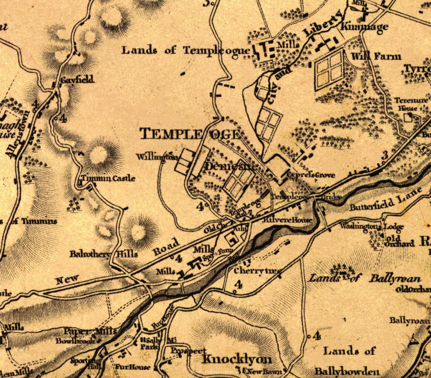 View/Open |
This item is protected by original copyright |
Items in Source are protected by copyright, with all rights reserved, unless otherwise indicated.