South Dublin County Libraries
Please use this identifier to cite or link to this item:
https://hdl.handle.net/10599/11735Full metadata record
| DC Field | Value | Language |
|---|---|---|
| dc.contributor | Thomas Mason Optician | en_IE |
| dc.contributor.author | Thomas Mason Optician | en_IE |
| dc.contributor.other | South Dublin Libraries Local Studies | en_IE |
| dc.coverage.spatial | International | en_IE |
| dc.coverage.temporal | 2016-11-25 | en_IE |
| dc.date.accessioned | 2020-12-10T03:00:12Z | - |
| dc.date.available | 2020-12-10T03:00:12Z | - |
| dc.date.issued | 1910 | en_IE |
| dc.identifier.other | 009_Plan of Jerusalem.tif wm_11735_009_Plan of Jerusalem.jpg | en_IE |
| dc.identifier.uri | https://hdl.handle.net/10599/11735 | - |
| dc.description | Slide 9 : one of a collection of lantern slides shown at Clondalkin branch library c 1910. Description given in booklet: In shape the city is an irregular rhomboid, the longest diagonal of which measures something less than a mile, and it covers about 209 acres of ground-about 35 being occupied by the area of the Haram-es-Sherif, or the Noble Enclosure -the Mosque of Omar and its enclosures. This is built on the summit of Mount Moriah, on what is without any doubt the site of Solomon's Temple. There are five gates. to the city, which is divided into four quarters-the Mohammedan, the Jewish, the Greek, and the Latin or “Christian” quarters-these quarters being defined by the intersection of the principal street and that which crosses it at right angles. The tall minarets of the Moslem enable him to keep an eye over all, and the muezzin call is heard everywhere; but the sale of crucifixes and rosaries is restricted to the Christian quarters located on Mount Zion. The Jews are rigidly enjoined from visiting the more prominent parts of Jerusalem, and they find no freedom from insult except in their own quarter. There are three days of rest in Jerusalem-Friday for the Moslem, Saturday for the Jews, and Sunday for the Greek and Latin and Protestant communities. The city is completely walled round, and presents the appearance of an immense fortress. Half an hour after sunset the gates are shut, and woe to any unlucky wayfarer who arrives after that, for except by a special order of the Governor they are not opened till sunrise next morning. There is not much in harmony with all our sacred association in the interior appearance of modern Jerusalem. Although there is something picturesque in the narrow streets and quaint old archways they belong to a later age than the one we are most interested in, for the city of Herod is destroyed and the Jerusalem of David and Solomon lies crushed and buried 20 fathoms under ground. The first impression is usually one of disappointment. The city is small, the hills are stony and barren, but Jerusalem is a city which, to the student, becomes more interesting the longer he explores it. No ingenuity can reconstruct this city as our Saviour saw it. No man on earth knows precisely where the first wall, or the second wall, or the third wall began or ended, nor the exact locations of its castles, towers, pools, sepulchres, &c. But, leaving speculations and their results, there are some important points and boundaries about which there can be no reasonable doubt. The two points round which interest is mainly centred are the sites of the Jewish Temple and the site of the Crucifixion. The former has been fixed with certainty on the ground now covered by the Haram-esSherif. With regard to the latter the Church of the Holy Sepulchre was regarded as being the true site of this for nearly 1400 years, from the time of Constantine till quite recently, but from recent discoveries it has been proved that wherever the real site is it could not have been at the Church of the Holy Sepulchre unless the accounts given by New Testament writers are at variance with the facts. The most probable site is outside the city walls, at a place called “Jeremiah's Grotto,” but although this is supported by the directors of the Palestine Exploration Fund it is of course only a supposition. | en_IE |
| dc.format | TIFF | en_IE |
| dc.language.iso | English | en_IE |
| dc.publisher | Thomas Mason Optician, 5-6 Dame St Dublin. | en_IE |
| dc.relation | Holy Land Collection | en_IE |
| dc.rights | If you wish to reproduce this image please contact South Dublin Libraries Local Studies, County Library, Tallaght, or e-mail localstudies@sdublincoco.ie. | en_IE |
| dc.source | glass slide | en_IE |
| dc.subject | Clondalkin Branch Library | en_IE |
| dc.subject | lantern slide | en_IE |
| dc.subject | Holy Land | en_IE |
| dc.title | Plan of Jerusalem (Modern). | en_IE |
| dc.type | Image | en_IE |
| dc.internal.visibility | 1 | en_IE |
| dc.coverage.latitude | 31.768319 | en_IE |
| dc.coverage.longitude | 35.213710 | en_IE |
| dc.rights.allowmp3download | Yes | en_IE |
| Appears in Collections: | Published Items The Holy Land: a reading; a description of a series of lantern slides | |
Files in This Item:
| File | Description | Size | Format | |
|---|---|---|---|---|
| wm_11735_009_Plan of Jerusalem.jpg | Generated Web Image | 576.02 kB | JPEG | 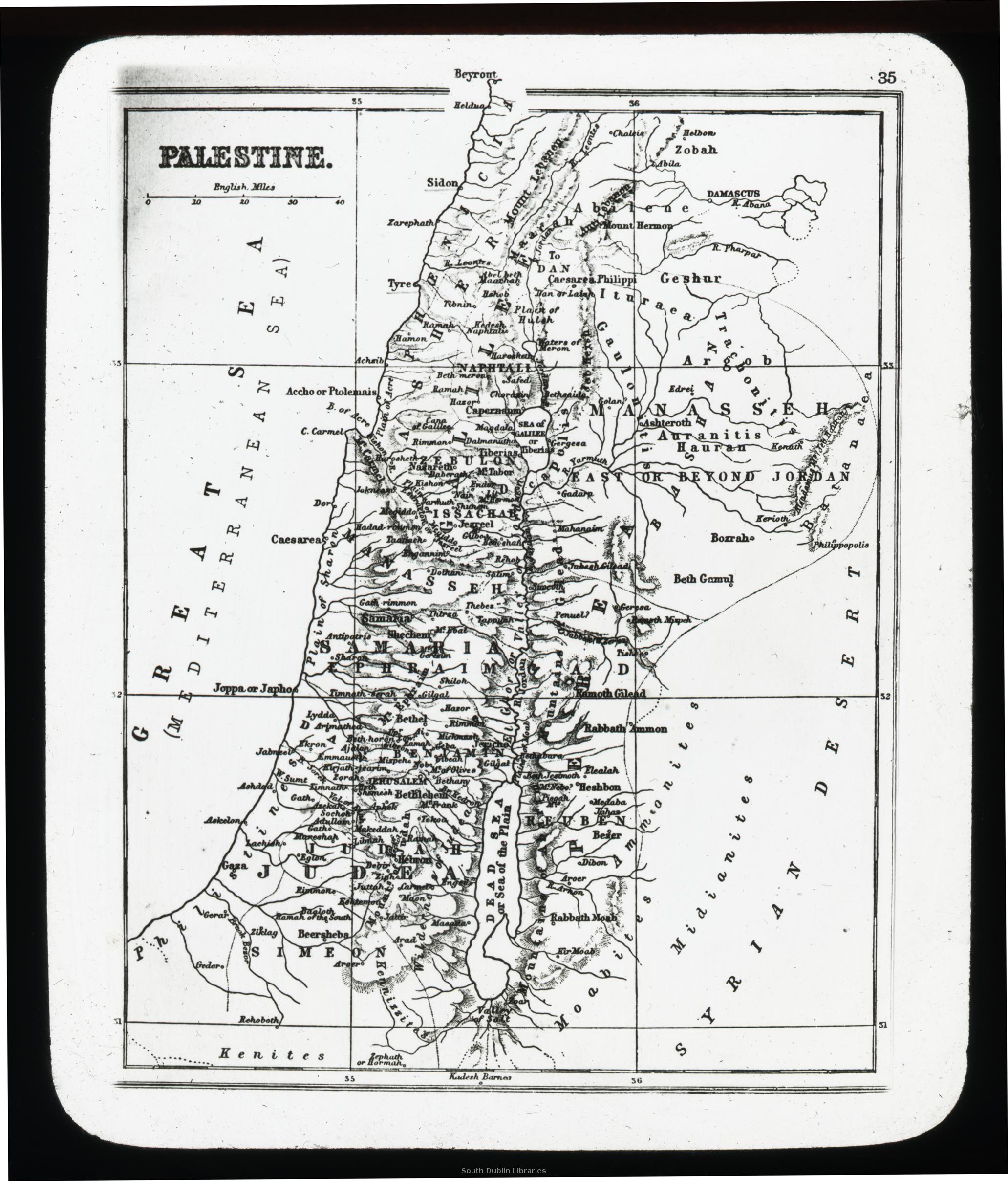 View/Open |
This item is protected by original copyright |
Items in Source are protected by copyright, with all rights reserved, unless otherwise indicated.