South Dublin County Libraries
Please use this identifier to cite or link to this item:
https://hdl.handle.net/10599/12542Full metadata record
| DC Field | Value | Language |
|---|---|---|
| dc.contributor.other | Cahill, Brendan | en_IE |
| dc.coverage.spatial | ---Lucan | en_IE |
| dc.coverage.temporal | 2021-08-25 | en_IE |
| dc.date.accessioned | 2021-08-30T02:00:07Z | - |
| dc.date.available | 2021-08-30T02:00:07Z | - |
| dc.date.issued | 1996 | en_IE |
| dc.identifier.other | wm_zIMG_2289.jpg wm_BC054e.jpg wm_BC054d copy.jpg wm_IMG_2290.jpg | |
| dc.identifier.uri | https://hdl.handle.net/10599/12542 | - |
| dc.description | View of the N4 at Woodies, Lucan before road widening | en_IE |
| dc.format | TIFF | en_IE |
| dc.language.iso | English | en_IE |
| dc.rights | Reproduced by kind permission of Brendan Cahill. Digital image by South Dublin Libraries, Local Studies. South Dublin Libraries do not own the copyright in this image. If you wish to reproduce this item, please contact Localstudies@sdublincoco.ie | en_IE |
| dc.subject | Lucan | en_IE |
| dc.subject | Regional Development | en_IE |
| dc.subject | Woodies | en_IE |
| dc.subject | Road Widening | en_IE |
| dc.title | View of the N4 at Woodies, Lucan before road widening | en_IE |
| dc.type | Image | en_IE |
| dc.internal.visibility | 1 | en_IE |
| dc.coverage.latitude | 53.357667037786875 | en_IE |
| dc.coverage.longitude | -6.424734340554907 | en_IE |
| dc.rights.allowmp3download | Yes | en_IE |
| Appears in Collections: | Brendan Cahill Collection Published Items | |
Files in This Item:
| File | Description | Size | Format | |
|---|---|---|---|---|
| wm_BC054d copy.jpg | Generated Web Image | 587.89 kB | JPEG | 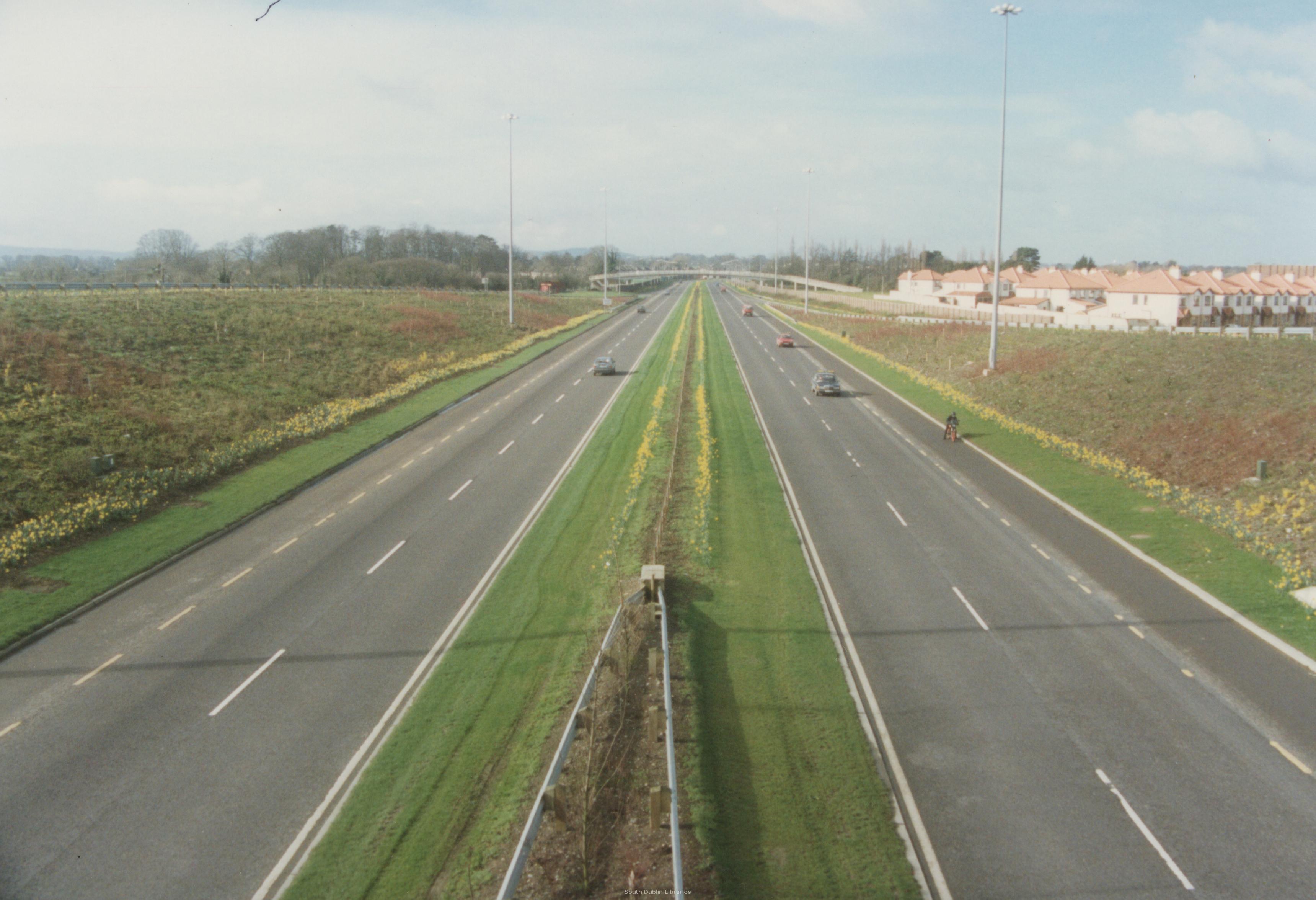 View/Open |
| wm_BC054e.jpg | Generated Web Image | 740.35 kB | JPEG | 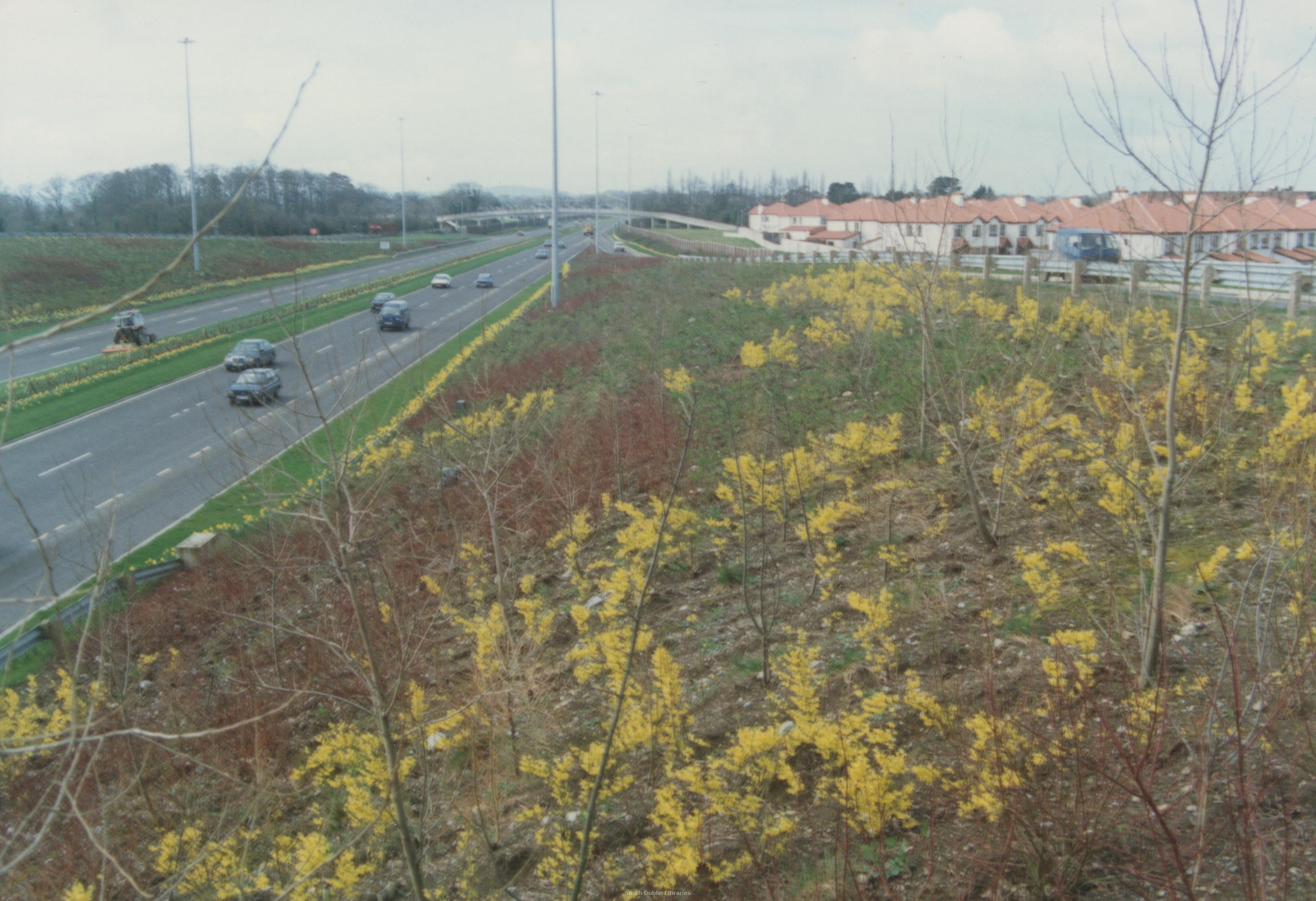 View/Open |
| wm_IMG_2290.jpg | Generated Web Image | 1.43 MB | JPEG | 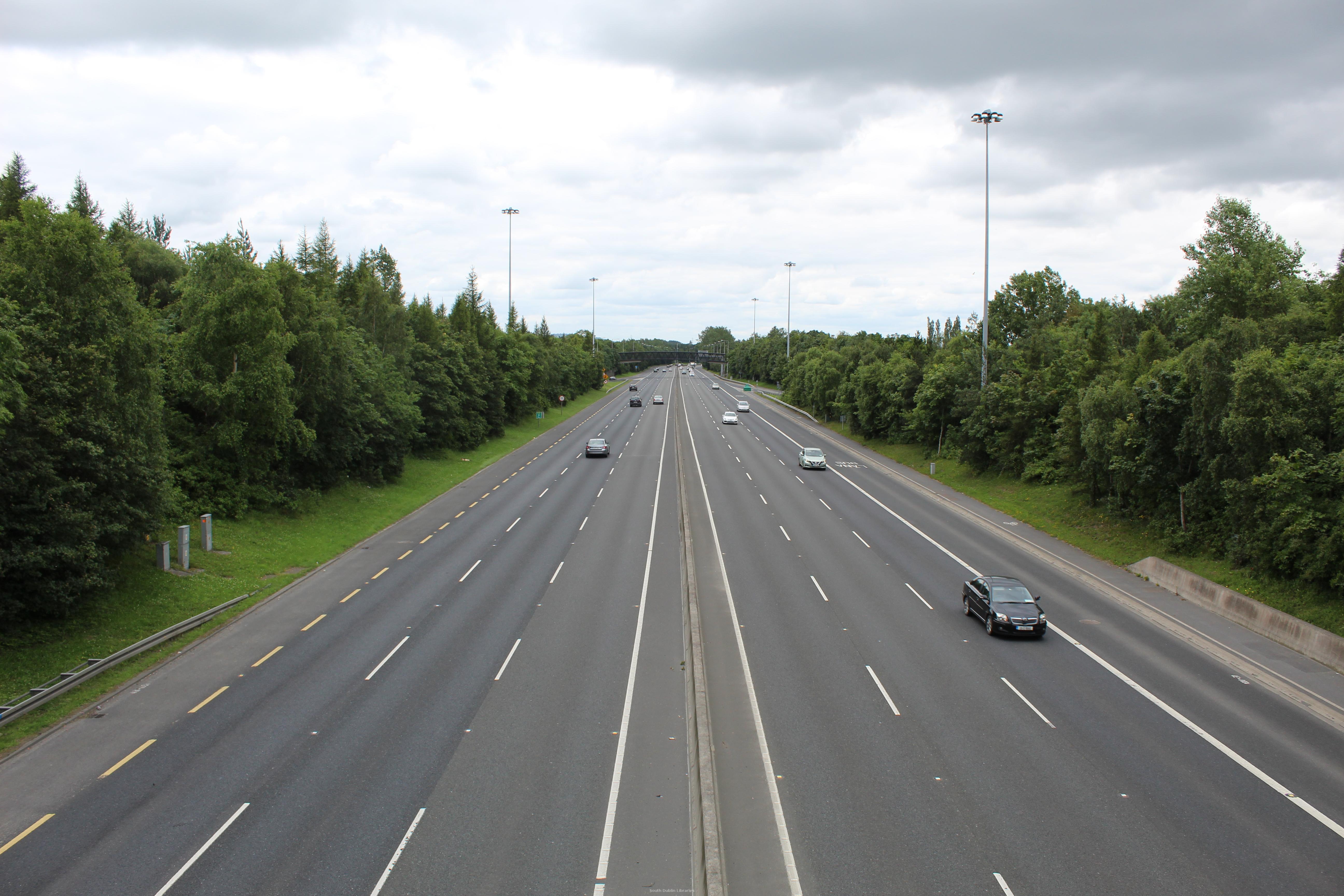 View/Open |
| wm_zIMG_2289.jpg | Generated Web Image | 1.02 MB | JPEG | 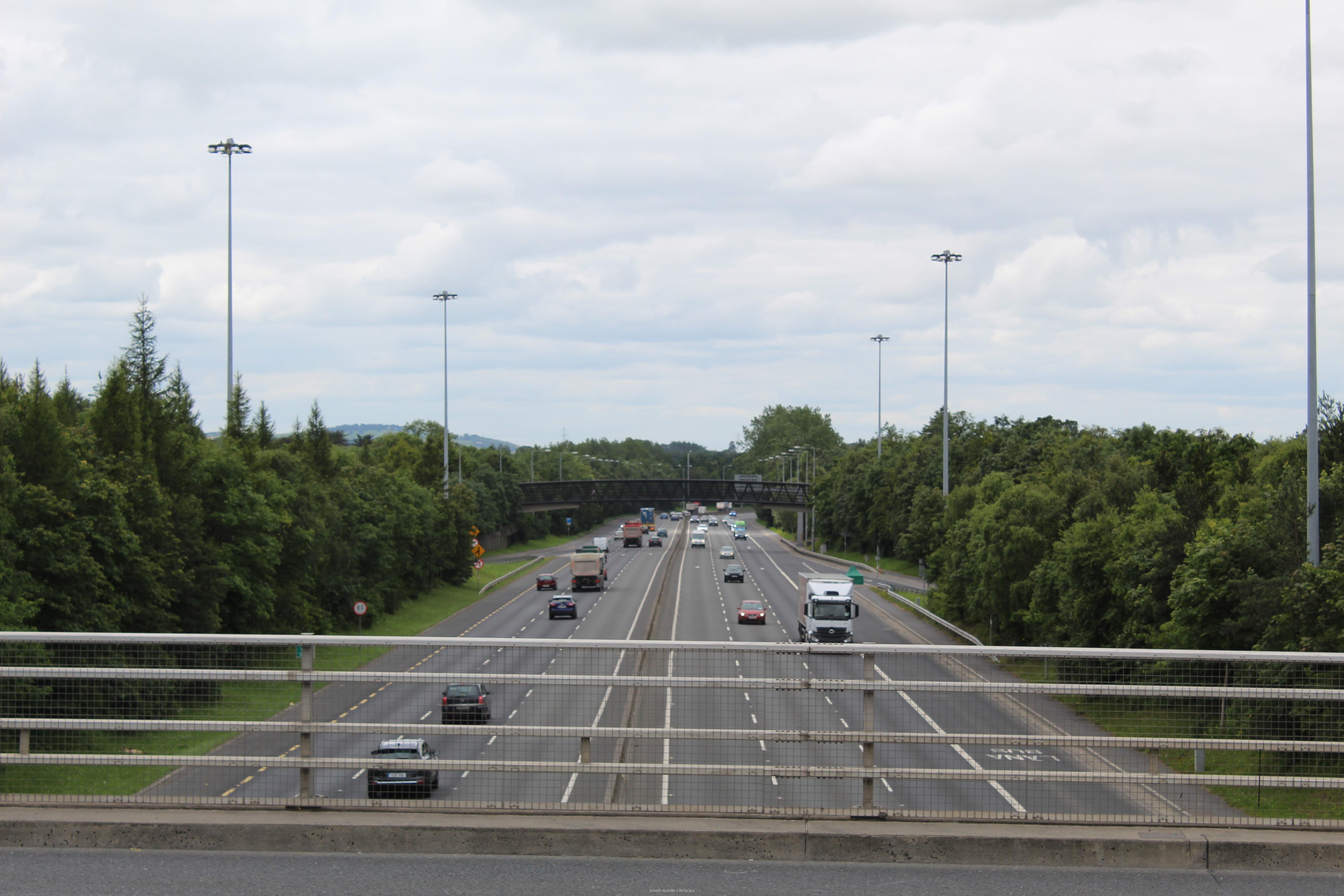 View/Open |
This item is protected by original copyright |
Items in Source are protected by copyright, with all rights reserved, unless otherwise indicated.