South Dublin County Libraries
Please use this identifier to cite or link to this item:
https://hdl.handle.net/10599/12587| Title: | Then and Now: Aerial photograph showing the current location of Tallaght University. Also shows St. Maelruain's and St. Dominic's |
| Authors: | South Dublin Libraries South Dublin Libraries |
| Keywords: | Tallaght University Urban Development |
| Issue Date: | 1995 |
| Description: | Then and Now: Aerial photograph showing the current location of Tallaght University. Also shows St. Maelruain's and St. Dominic's |
| URI: | https://hdl.handle.net/10599/12587 |
| Copyright: | Reproduced courtesy of the Irish Air Corps |
| Location: | Click here to view the location in Google Maps |
| Appears in Collections: | Published Items South Dublin Libraries Images |
Files in This Item:
| File | Description | Size | Format | |
|---|---|---|---|---|
| wm_Aerial10.jpg | Generated Web Image | 3.24 MB | JPEG | 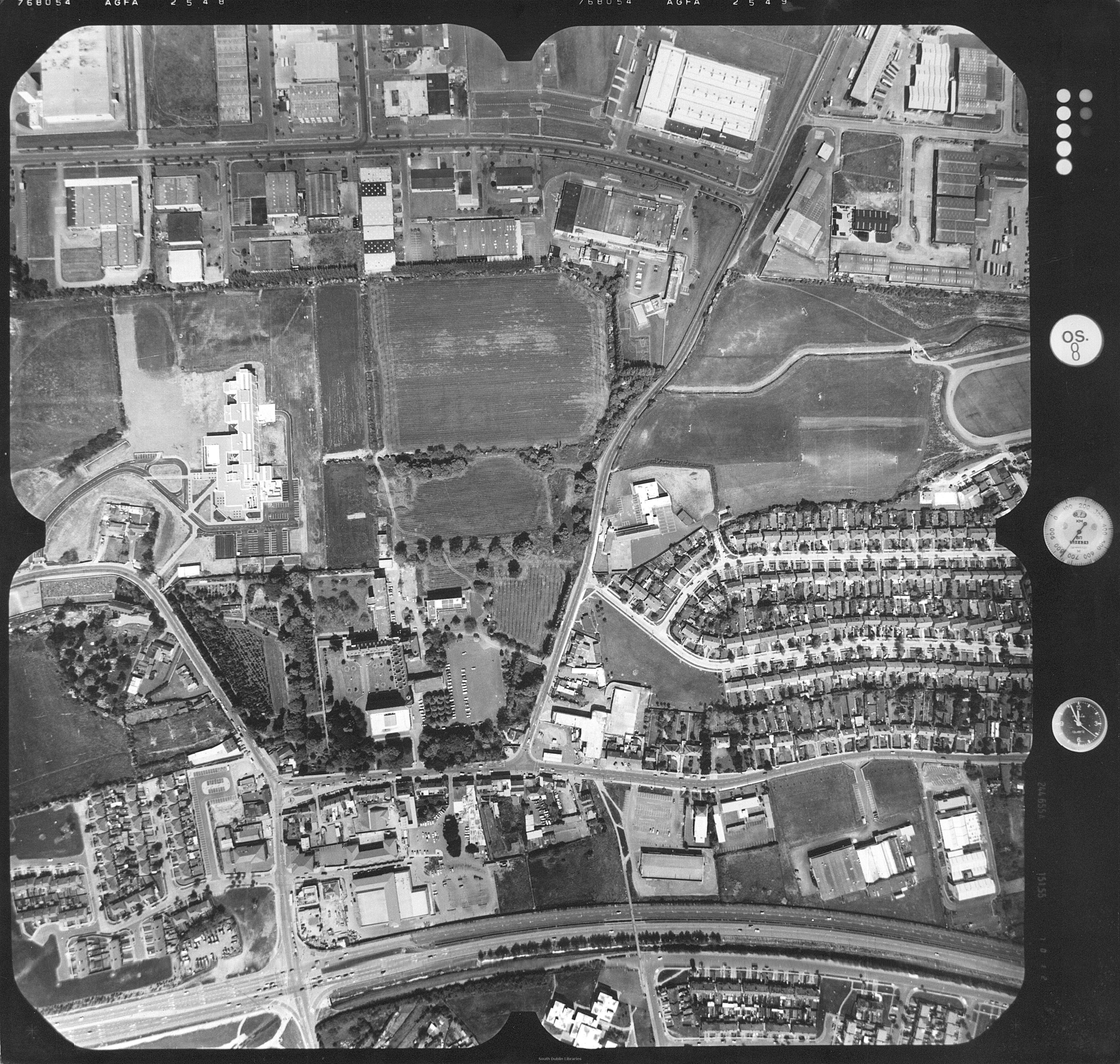 View/Open |
| wm_Aerial10_Now.jpg | Generated Web Image | 242.65 kB | JPEG | 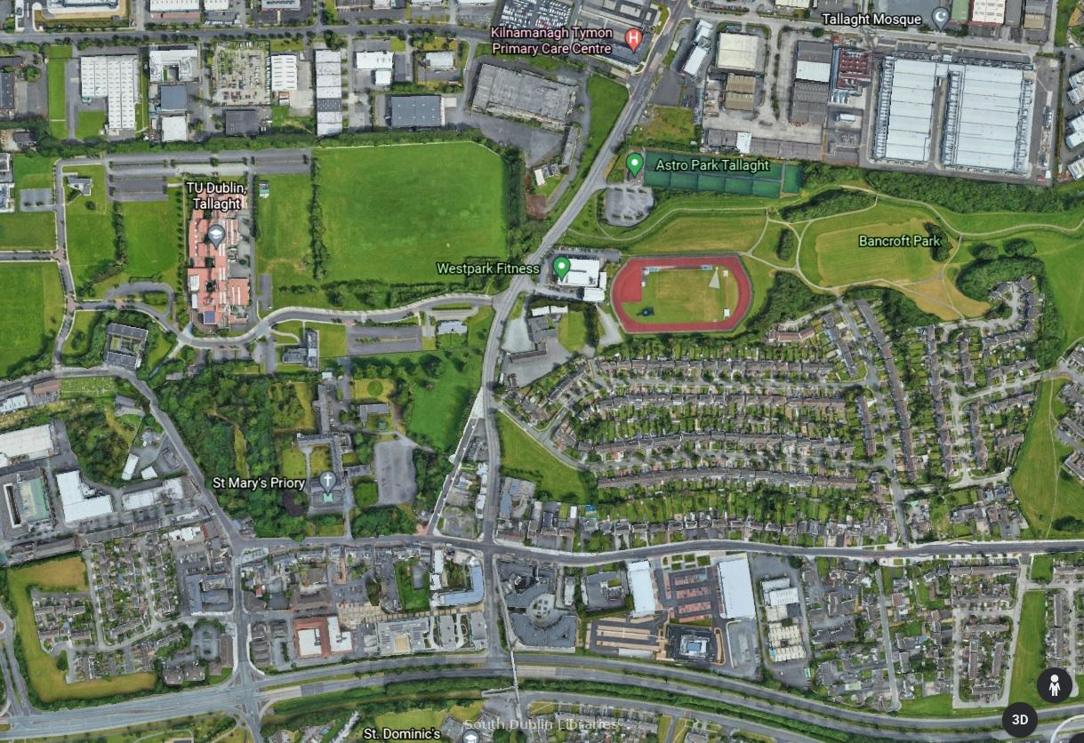 View/Open |
This item is protected by original copyright |
Items in Source are protected by copyright, with all rights reserved, unless otherwise indicated.