South Dublin County Libraries
Please use this identifier to cite or link to this item:
https://hdl.handle.net/10599/2906Full metadata record
| DC Field | Value | Language |
|---|---|---|
| dc.contributor.author | Unknown | en_IE |
| dc.coverage.spatial | Clondalkin | en_IE |
| dc.date.accessioned | 2010-04-22T15:43:52Z | - |
| dc.date.available | 2010-04-22T15:43:52Z | - |
| dc.date.issued | 2009-09-07T15:29:18Z | en_IE |
| dc.identifier.other | 1027 wm_1027.jpg | en_IE |
| dc.identifier.uri | https://hdl.handle.net/10599/2906 | - |
| dc.format | Jpeg | en_IE |
| dc.language.iso | en | en_IE |
| dc.publisher | South Dublin County Council | en_IE |
| dc.relation.isbasedon | Patrick Healy Collection | en_IE |
| dc.rights | South Dublin Libraries, Local Studies Collection, County Library, Town Centre, Tallaght, Dublin 24, 353 (0)1 4620073 | en_IE |
| dc.subject | map | en_IE |
| dc.title | Clondalkin 1837 Ordnance Survey Map | en_IE |
| dc.type | Map | en_IE |
| Appears in Collections: | Patrick Healy Collection Published Items | |
Files in This Item:
| File | Description | Size | Format | |
|---|---|---|---|---|
| wm_1027.jpg | 1.34 MB | JPEG | 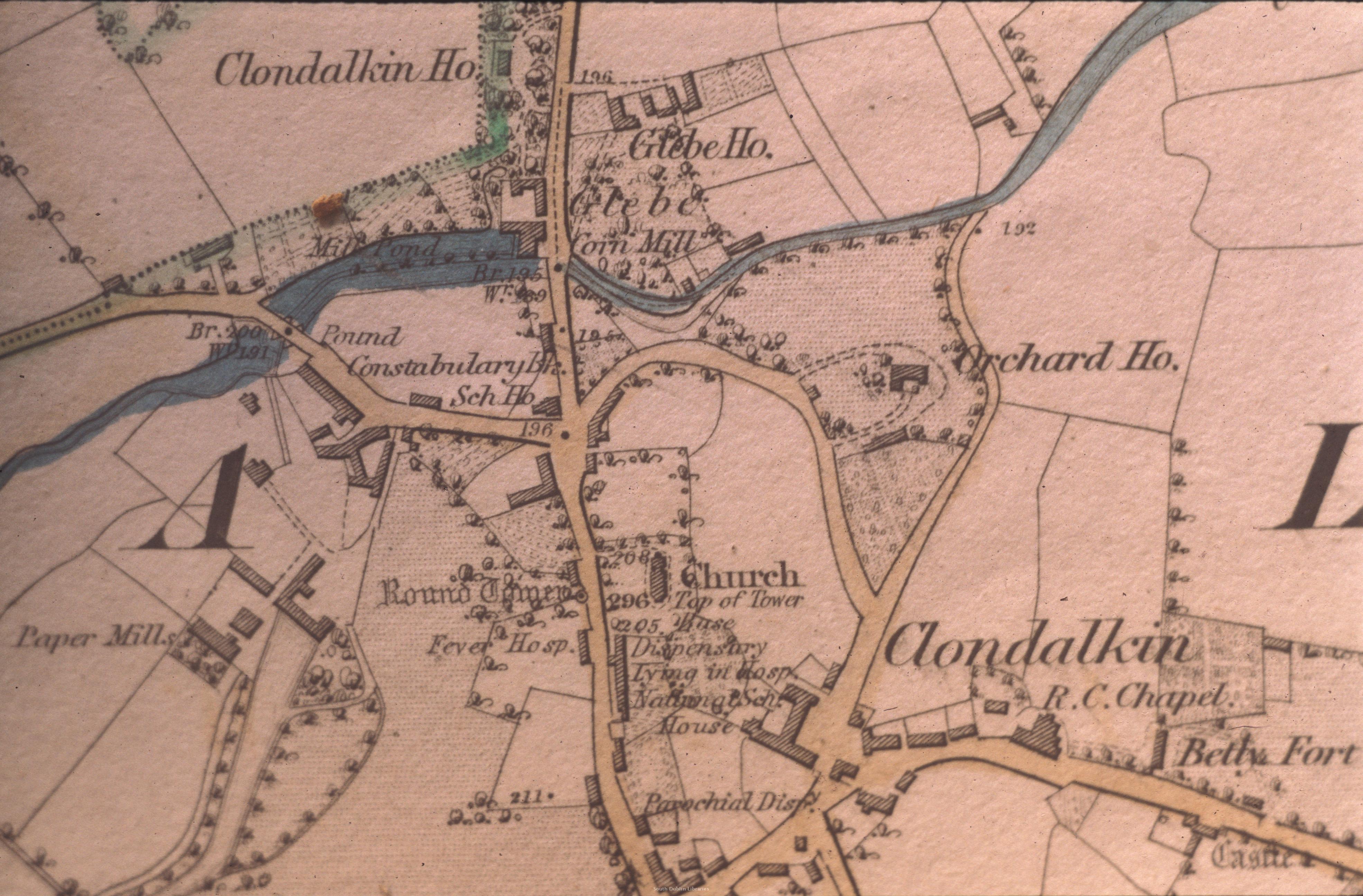 View/Open |
This item is protected by original copyright |
Items in Source are protected by copyright, with all rights reserved, unless otherwise indicated.