South Dublin County Libraries
Please use this identifier to cite or link to this item:
https://hdl.handle.net/10599/4685| Title: | Topography of Tallaght area |
| Authors: | Unknown |
| Keywords: | landscape aerial photograph |
| Issue Date: | 7-Sep-2009 |
| Publisher: | South Dublin County Council |
| Description: | Greenhills Road joined by Tymon Road, both following the lines of eskers. Note Kilnamanagh, site of Tymon Castle and the Cuckoo's Nest. |
| URI: | https://hdl.handle.net/10599/4685 |
| Copyright: | Blackrock Education Centre, Kill Avenue, Dún Laoghaire, County Dublin, Ireland, 353 (0)1 2365000 |
| Appears in Collections: | Published Items Tallaght Historical Society Collection |
Files in This Item:
| File | Description | Size | Format | |
|---|---|---|---|---|
| wm_1452.jpg | 195.09 kB | JPEG | 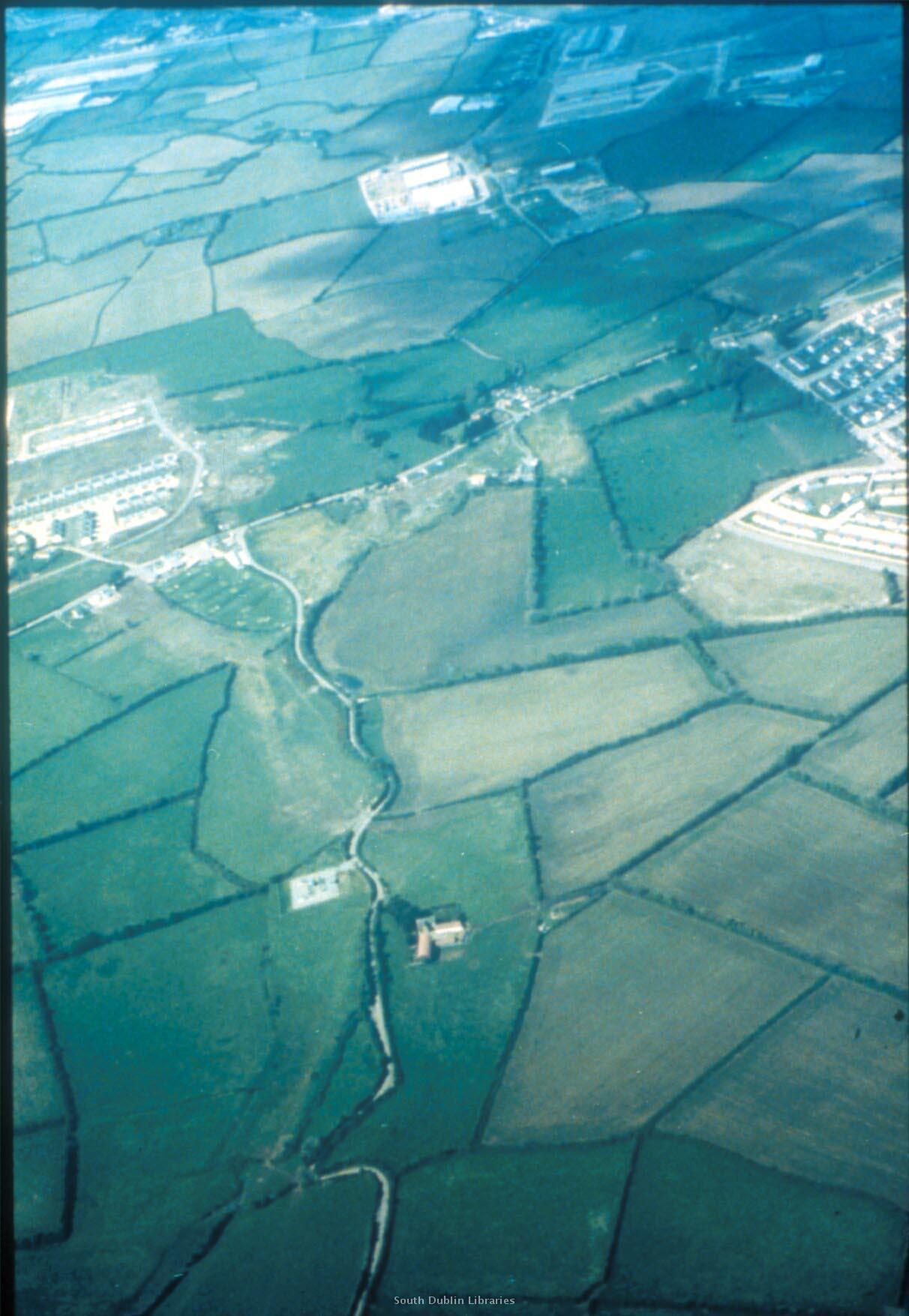 View/Open |
This item is protected by original copyright |
Items in Source are protected by copyright, with all rights reserved, unless otherwise indicated.