South Dublin County Libraries
Please use this identifier to cite or link to this item:
https://hdl.handle.net/10599/4955Full metadata record
| DC Field | Value | Language |
|---|---|---|
| dc.contributor.author | Duncan, William | en_IE |
| dc.coverage.spatial | Brittas | en_IE |
| dc.coverage.temporal | 1821 | en_IE |
| dc.date.accessioned | 2010-02-23T12:41:57Z | - |
| dc.date.available | 2010-02-23T12:41:57Z | - |
| dc.date.issued | 2009-09-07T16:30:17Z | en_IE |
| dc.identifier.other | wm_Duncan_Brittas.jpg | |
| dc.identifier.uri | https://hdl.handle.net/10599/4955 | - |
| dc.description | Portion of William Duncan's Map of the County of Dublin, 1821, showing Brittas Village | en_IE |
| dc.format | .jpg | en_IE |
| dc.language.iso | English | en_IE |
| dc.subject | map | en_IE |
| dc.title | Maps of the County of Dublin [Brittas] | en_IE |
| dc.type | image | en_IE |
| Appears in Collections: | Maps Published Items | |
Files in This Item:
| File | Description | Size | Format | |
|---|---|---|---|---|
| wm_Duncan_Brittas.jpg | 310.08 kB | JPEG | 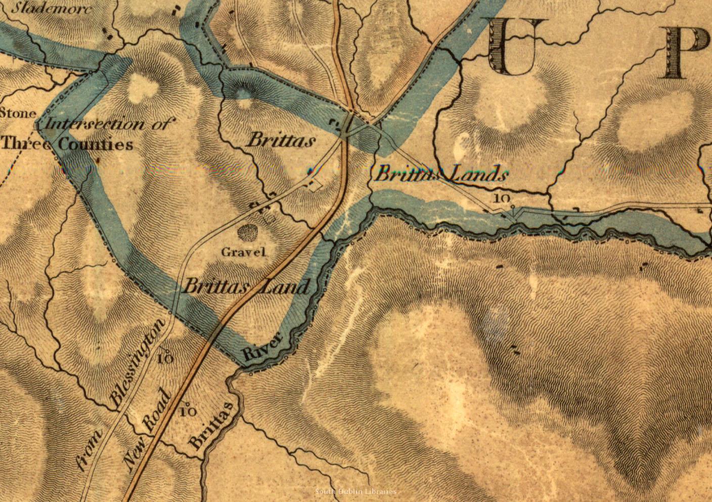 View/Open |
This item is protected by original copyright |
Items in Source are protected by copyright, with all rights reserved, unless otherwise indicated.