South Dublin County Libraries
Please use this identifier to cite or link to this item:
https://hdl.handle.net/10599/10334Full metadata record
| DC Field | Value | Language |
|---|---|---|
| dc.contributor.author | Ordnance Survey Office Ireland | en_IE |
| dc.contributor.other | Cruise, Aidan | en_IE |
| dc.coverage.spatial | ---Kildare | en_IE |
| dc.coverage.temporal | c.1908 | en_IE |
| dc.date.accessioned | 2020-12-09T03:00:05Z | - |
| dc.date.available | 2020-12-09T03:00:05Z | - |
| dc.date.issued | 1908 | en_IE |
| dc.identifier.other | Ballintore Village Centre Map 2 (numbered).tif wm_10334_Ballintore Village Centre Map 2 (numbered).jpg | en_IE |
| dc.identifier.uri | https://hdl.handle.net/10599/10334 | - |
| dc.description | A numbered Ordnance Survey Office map of the centre of the Quaker village of Ballitore, Co. Kildare 1907 - 1908 thought to be related to c.1960 era photographs and survey sheets of property hosted on SOURCE associated with this Quaker collection. | en_IE |
| dc.format | TIFF | en_IE |
| dc.language.iso | English | en_IE |
| dc.publisher | Ordnance Survey Office Ireland c.1908 | en_IE |
| dc.subject | Ordnance Survey map | en_IE |
| dc.title | Ordnance Survey Office Map No. 2 of Ballitore County Kildare 1907 -1908 | en_IE |
| dc.type | Image | en_IE |
| dc.internal.visibility | 1 | en_IE |
| Appears in Collections: | Published Items Quaker Maps | |
Files in This Item:
| File | Description | Size | Format | |
|---|---|---|---|---|
| wm_10334_Ballintore Village Centre Map 2 (numbered).jpg | Generated Web Image | 2.59 MB | JPEG | 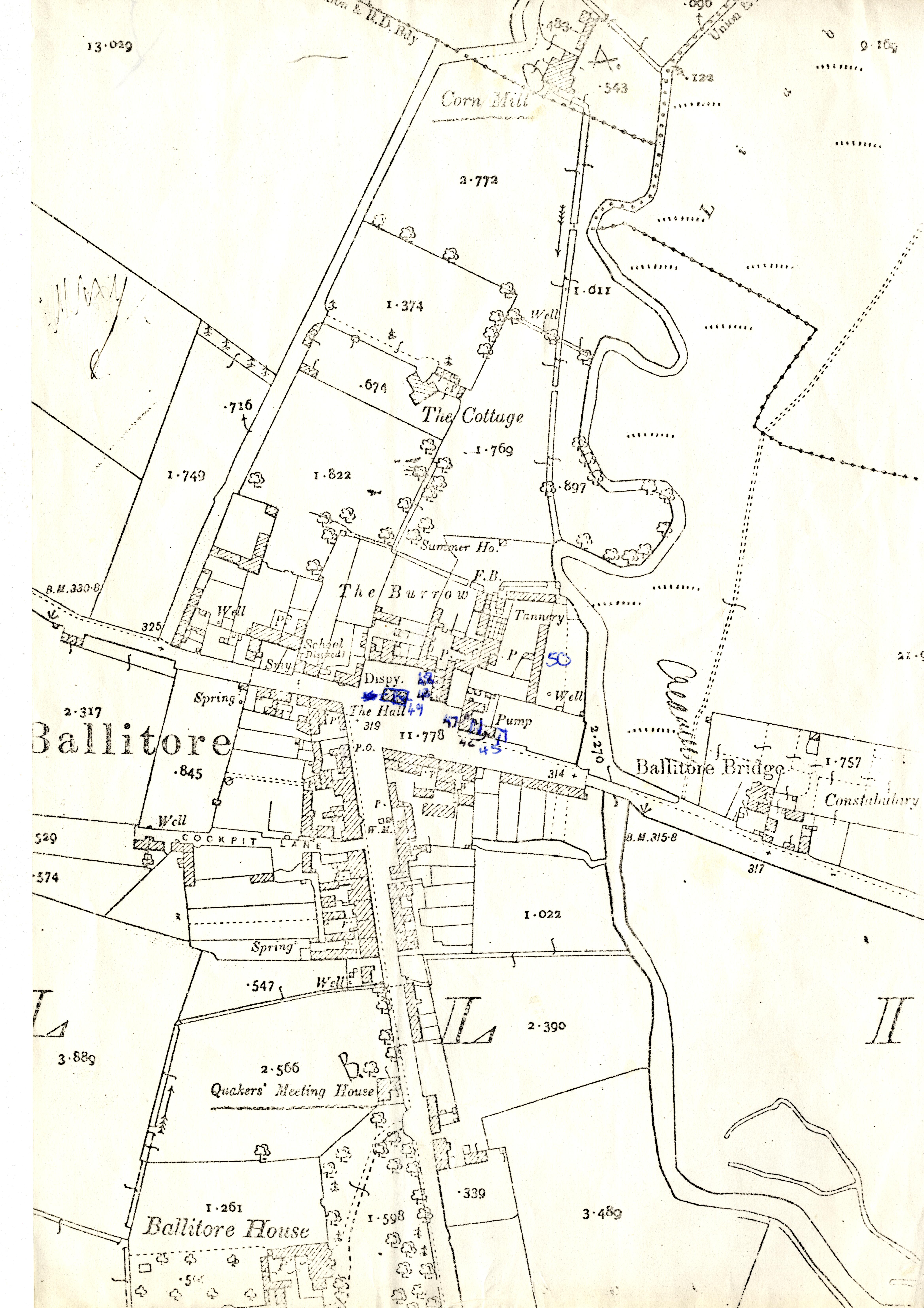 View/Open |
This item is protected by original copyright |
Items in Source are protected by copyright, with all rights reserved, unless otherwise indicated.