South Dublin County Libraries
Please use this identifier to cite or link to this item:
https://hdl.handle.net/10599/4529| Title: | Aerial view of Tallaght Hill |
| Authors: | Unknown |
| Keywords: | landscape ring fort aerial photograph archaeological site stone circle megalith |
| Issue Date: | 7-Sep-2009 |
| Publisher: | South Dublin County Council |
| Description: | Among the sites included in this view, obscured by vegetation, are partly destroyed megalith and stone circle, standing stones and multivallate Ring Fort known as Raheendhu |
| URI: | https://hdl.handle.net/10599/4529 |
| Copyright: | Blackrock Education Centre, Kill Avenue, Dún Laoghaire, County Dublin, Ireland, 353 (0)1 2365000 |
| Appears in Collections: | Published Items Tallaght Historical Society Collection |
Files in This Item:
| File | Description | Size | Format | |
|---|---|---|---|---|
| wm_1464.jpg | 427.68 kB | JPEG | 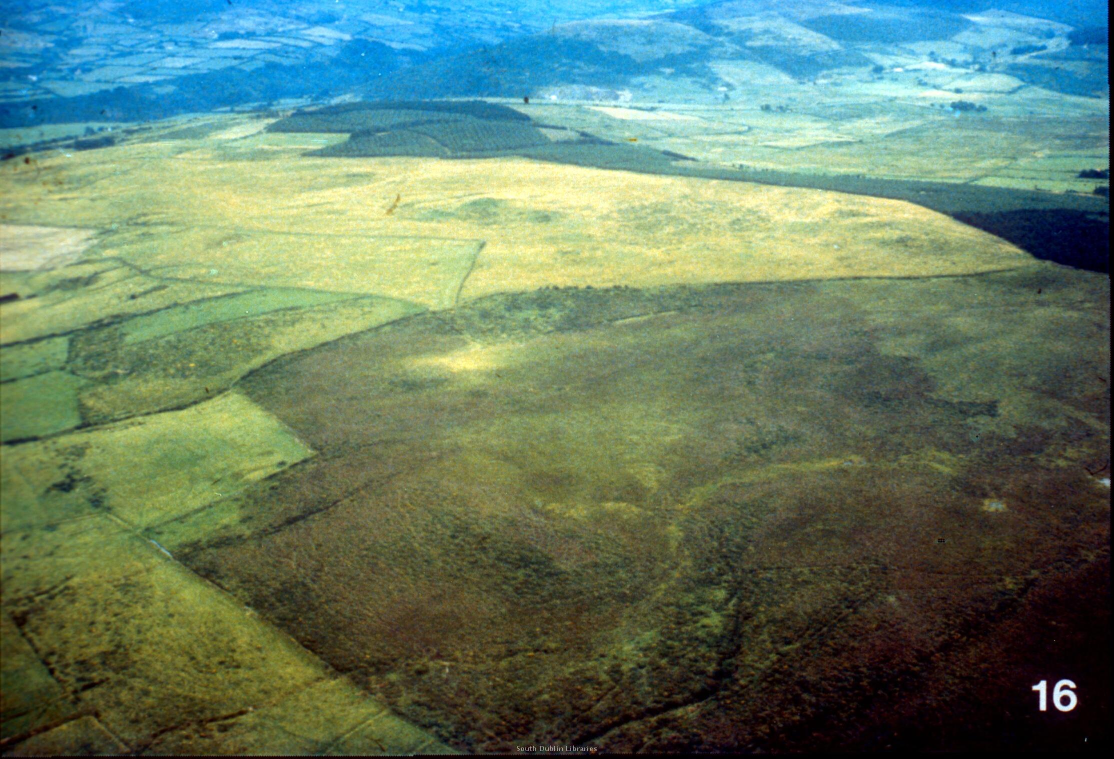 View/Open |
This item is protected by original copyright |
Items in Source are protected by copyright, with all rights reserved, unless otherwise indicated.