South Dublin County Libraries
Please use this identifier to cite or link to this item:
https://hdl.handle.net/10599/5044| Title: | Sketch of that part of the New Military Road which extends from Mount Venus to Sally Gap and to Killmalin |
| Authors: | Taylor, Alexander |
| Keywords: | map Dodder River Mount Venus Mount Pelier Killakee White Sands Mountain Feather Bed Bog Castle Toole Mountain Cuttlestown Aurora Hutts Lough Bray Glencree Shranamuck Roundwood Blessington Kippure Mountain Killmalin Tonagarragh |
| Issue Date: | 7-Sep-2009 |
| URI: | https://hdl.handle.net/10599/5044 |
| Copyright: | British Library |
| Appears in Collections: | Maps Published Items |
Files in This Item:
| File | Description | Size | Format | |
|---|---|---|---|---|
| wm_AlexTaylor1.jpg | 3.44 MB | JPEG | 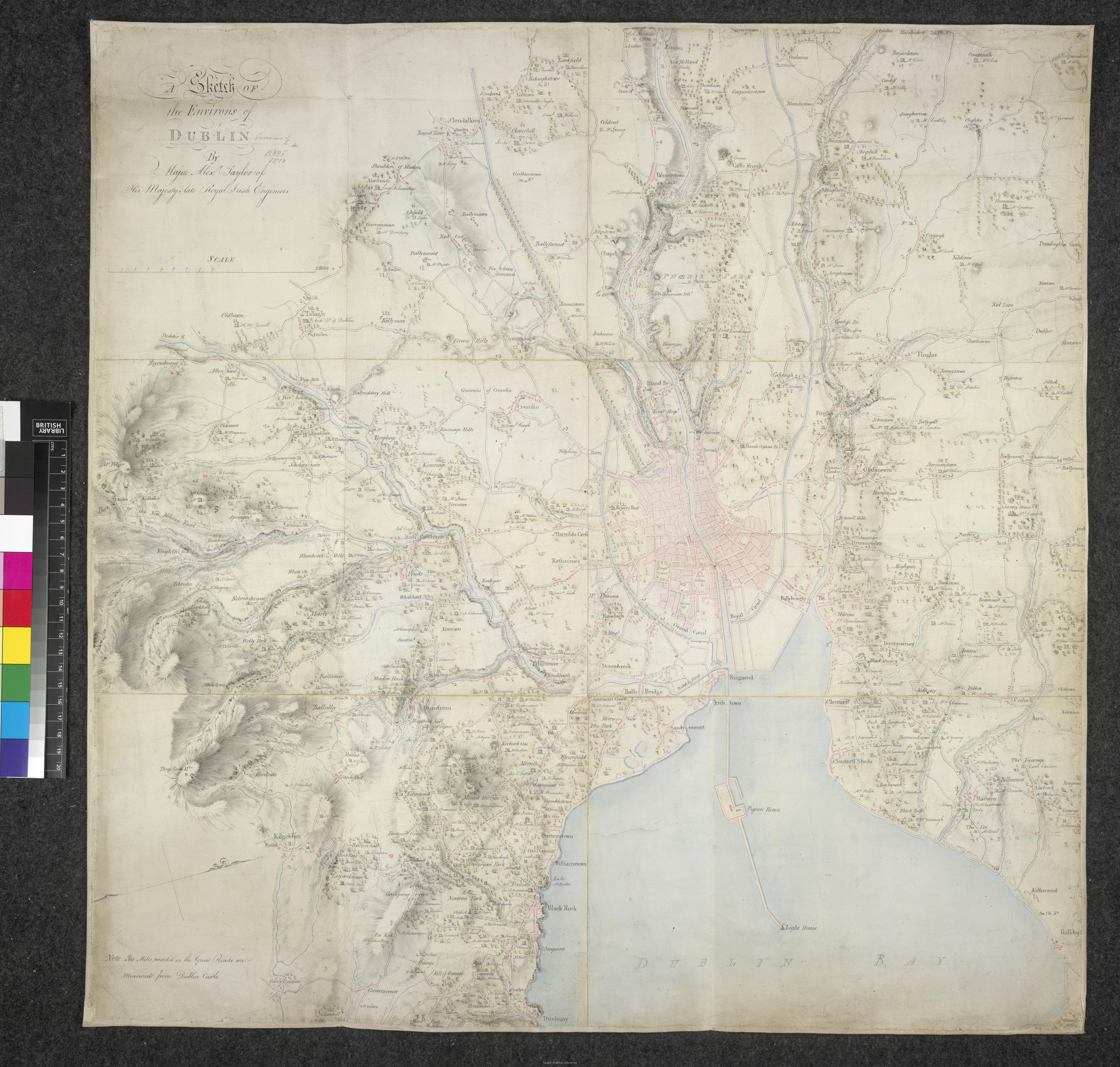 View/Open |
This item is protected by original copyright |
Items in Source are protected by copyright, with all rights reserved, unless otherwise indicated.