South Dublin County Libraries
Please use this identifier to cite or link to this item:
https://hdl.handle.net/10599/8879| Title: | Maps of the County Dublin [portion] |
| Authors: | Duncan, William |
| Keywords: | map |
| Issue Date: | 1821 |
| Description: | Portion of William Duncan's Maps of the County Dublin, includes Palmerston, Clondalkin, Lucan and Leixlip. |
| URI: | https://hdl.handle.net/10599/8879 |
| Appears in Collections: | Maps Published Items |
Files in This Item:
| File | Description | Size | Format | |
|---|---|---|---|---|
| wm_Duncan02.jpg | Generated Web Image | 3.6 MB | JPEG | 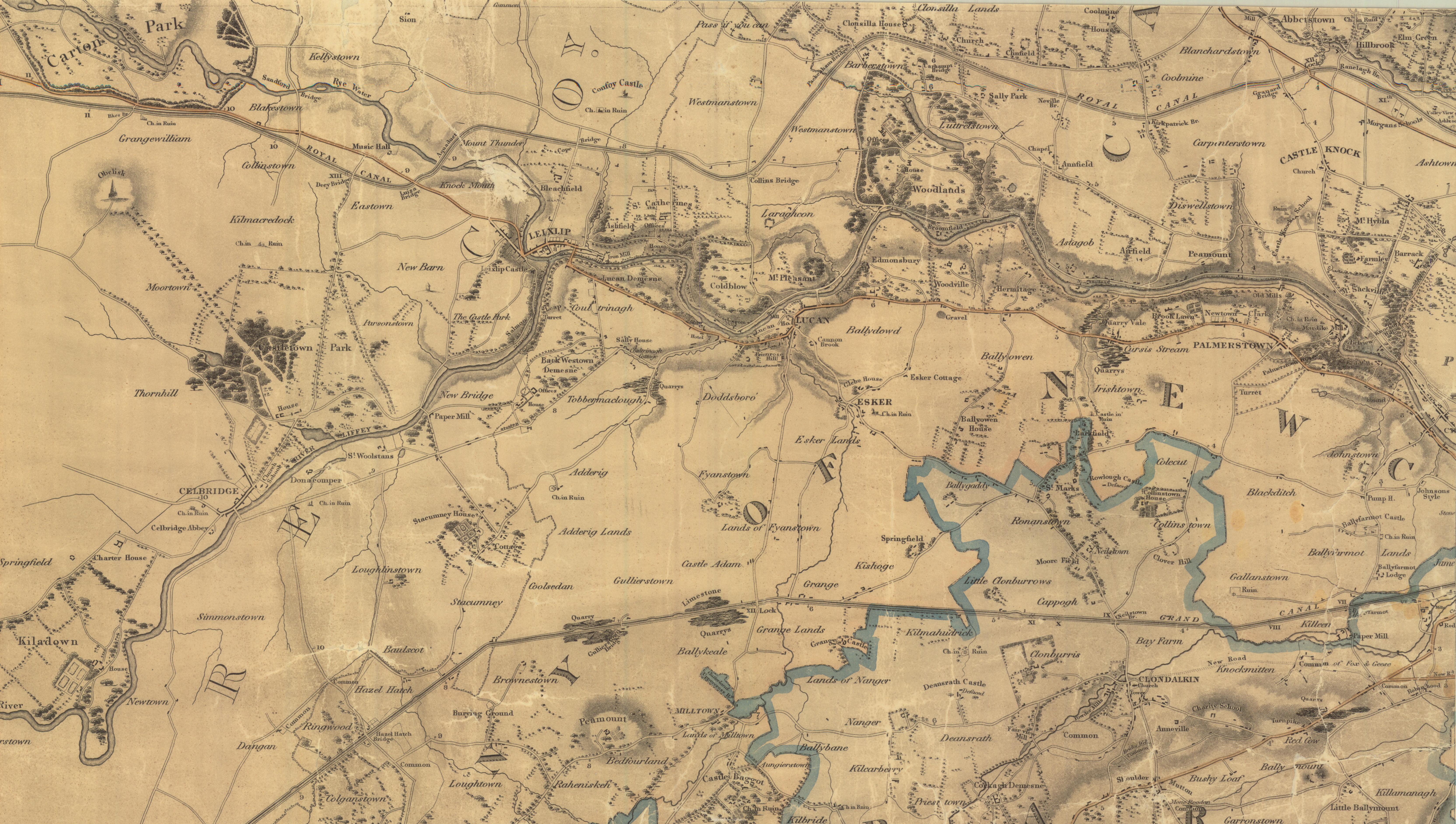 View/Open |
This item is protected by original copyright |
Items in Source are protected by copyright, with all rights reserved, unless otherwise indicated.