South Dublin County Libraries
Úsáid le do thoil an t-aitheantóir seo chun an mhír seo a lua nó a nascadh:
https://hdl.handle.net/10599/12189| Teideal: | Map showing lands at Corkagh as they appeared prior to their compulsory acquisition by Dublin County Council |
| Údair: | Lefroy, Laetitia Lefroy, Laetitia |
| Eochairfhocail: | Corkagh Clondalkin Corkagh estate Map |
| Dáta Eisithe: | 10-Aib-1961 |
| Cur Síos: | Map showing lands at Corkagh as they appeared prior to their compulsory acquisition by Dublin County Council for Naas Road improvements. Of interest are townlands of Buckandhounds and Bedlesshill, and Rockfields house. Modern map included for comparison |
| URI: | https://hdl.handle.net/10599/12189 |
| Copyright: | South Dublin Libraries Local Studies. |
| Location: | Click here to view the location in Google Maps |
| Tá sé i mBailiúcháin: | Documents Published Items |
Comhaid sa Mhír seo:
| Comhad | Cur Síos | Méid | Formáid | |
|---|---|---|---|---|
| wm_Today.jpg | Map of area today | 25.81 kB | JPEG | 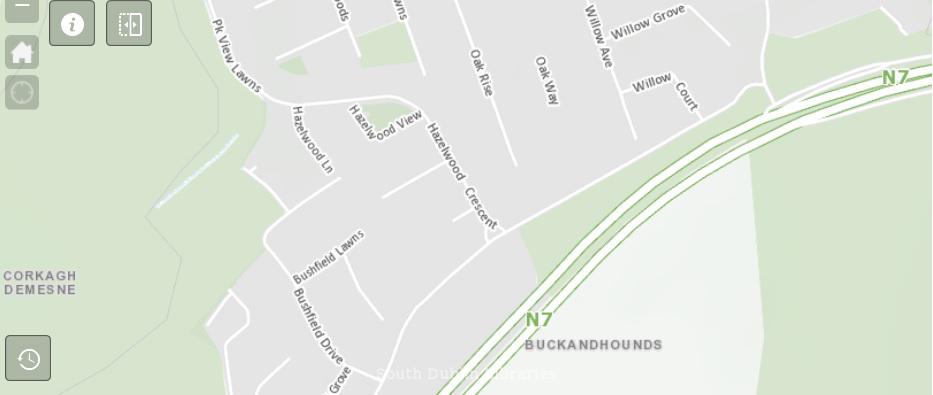 Féach/Oscail |
| wm_Map2.jpg | Map | 1.04 MB | JPEG | 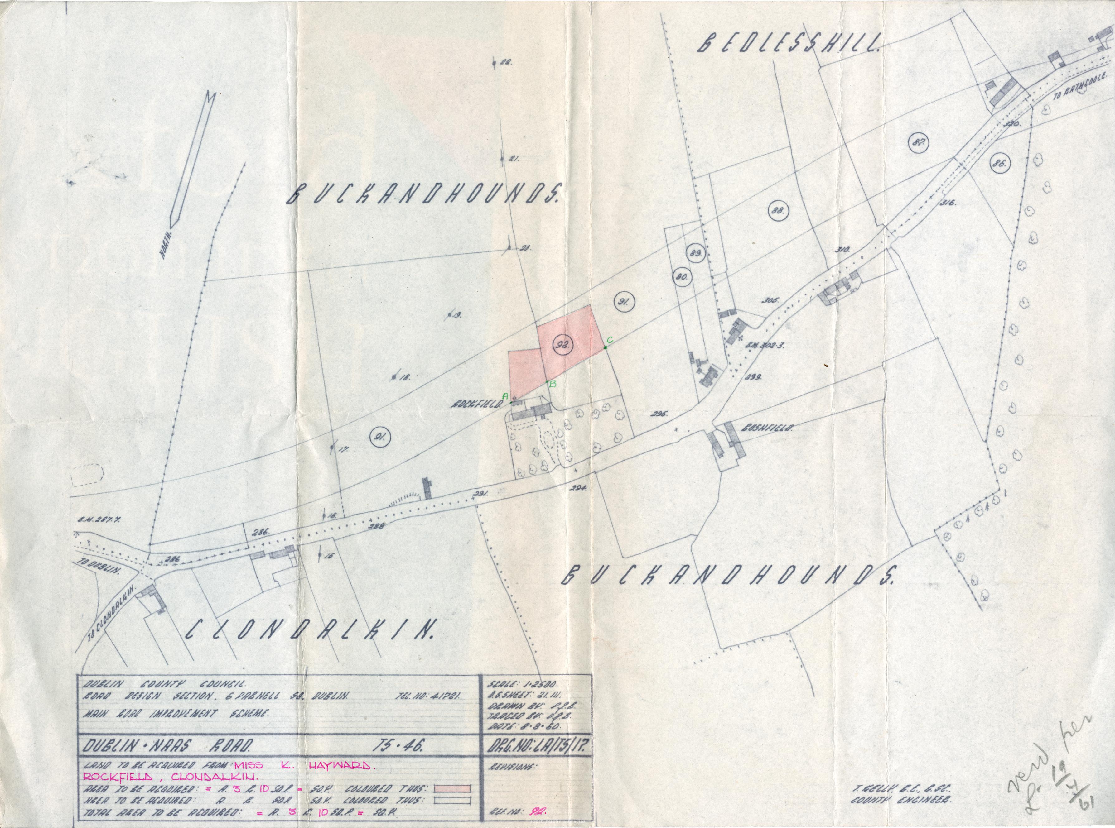 Féach/Oscail |
Tá cosaint chóipchirt bunaidh ag an mír seo |
Tá cosaint cóipchirt ag míreanna in Source, agus tá gach ceart ar cosaint, mura ndeirtear a mhalairt.